|
AS400Description |
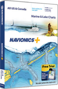
NAVIONICS+ ALL USA-CANADA
|
VendorItemNumber |
MSDNAVNI
|
WebLongDescription |
Detailed cartography for marine and lakes is updated daily, which makes Navionics+ the perfect choice for cruising, sailing and fishing. Get Nautical Chart, with clear and thorough chart data; SonarChart™, an exclusive 1 HD bathymetry map; and Community Edits, local content from the community. Daily updates and advanced features are included for 1 year and provide you with Dock-to-dock Autorouting1, SonarChart™ Live, Advanced Map Options and Plotter Sync. Simply plug your card into your computer and register at Navionics.com.
- 1 contours inshore and nearshore
- 24,800 lakes and adding more
- Daily updates and advanced features for 1 year
- Preloaded with Nautical Chart and SonarChart™ chart layers; Community Edits are downloadable
- Enjoy advanced features such as Dock-to-dock Autorouting1, SonarChart™ Live, Advanced Map Options and Plotter Sync
- Enhance the SonarChart™ contour map with sonar logs you collect
- Check Navionics.com/compatibility
|